
Platforms or Explanations, Cubing between DTMs, Hydrographic Analysis, etc…
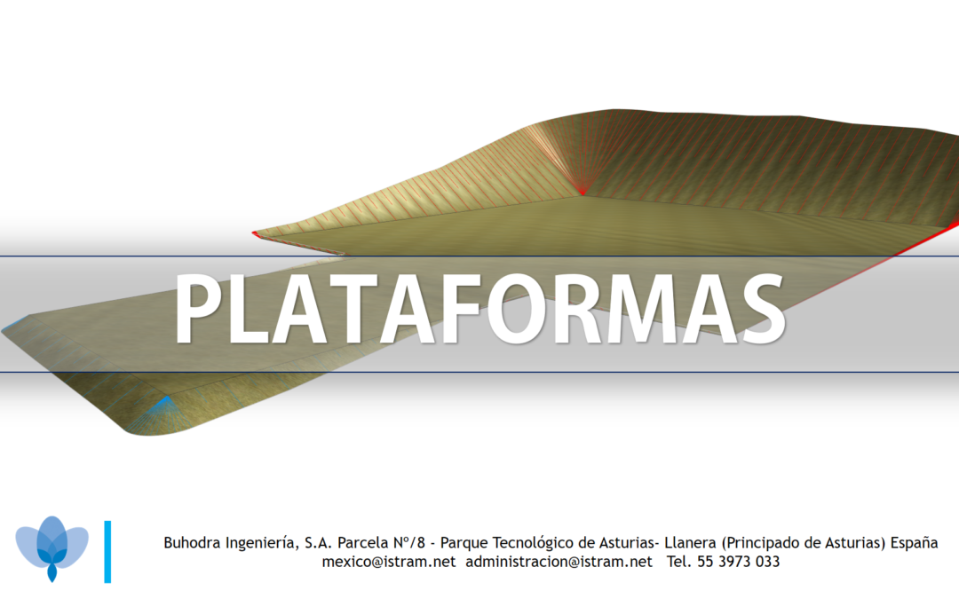
In addition to the linear works solutions for which ISTRAM is well known, a specialized module is available for the Design of Platforms or Esplanades.
A Platform or Esplanation is a level surface that is built on a Natural Terrain to allow the construction of a Building or a group of houses, although it is also used in the laying of Roads, Railway Stations, Shopping Centers or logistic parks to mention a few.
These platforms can be raised or lowered as needed to achieve the desired height for the construction of infrastructure. At ISTRAM we can control the entire design phase from conception, land compensation and execution.
Another example is in logistics parks where platforms have to interact with linear works.
Surface modeling encompasses many other areas that touch in part on earthworks as well as hydrographic analysis.
Things like Hypsometric Curve, Fill Curves, Watersheds, etc…
The hypsometric curve is a graph that shows the vertical distribution of altitude in a given area. In other words, it is a diagram that represents the elevation frequency of a given terrain. The hypsometric curve is drawn by placing the altitude on the vertical axis and the area or percentage of terrain area on the horizontal axis.
The hypsometric curve is commonly used in topography and geology to show the elevation of a given area and its relative distribution at different altitudes. The hypsometric curve is useful in determining the average altitude, altitude variation and the general shape of the topography of an area.
The filling curves are a series of contour lines that accumulate a catchment volume over their water mirror, i.e., according to the average of the areas of the upper and lower contour lines multiplied by the difference in elevations between curves, the volume V= [(A.sup + A.Inf)/2]*dZ is known.
On the other hand, a A watershed is a geographical area defined by the delimitation of a drainage network, that is, by the existence of a main river and its tributaries, which drain rainwater and other water resources from the area to a common point, which may be a lake, a reservoir, a sea, or other body of water.
All this is easily calculated in ISTRAM: